
Photography Credits
The town and hero photographs on this site are real Creative Commons photographs, taken by the people named below and used under the licences shown. None of them are AI-generated. Where a licence requires attribution, that is what this page is for — and each licence name links to the licence itself.
They came from Geograph Britain and Ireland, a project photographing every square kilometre of these islands, and Wikimedia Commons. We are grateful to both, and to the photographers.
This page covers the hero, location and article photography — every Creative Commons photograph on the site. Photographs of individual places to stay are not Creative Commons: they come from each property’s Booking.com listing and remain the property of the owners or of Booking.com, so they are not listed here.
Hero images
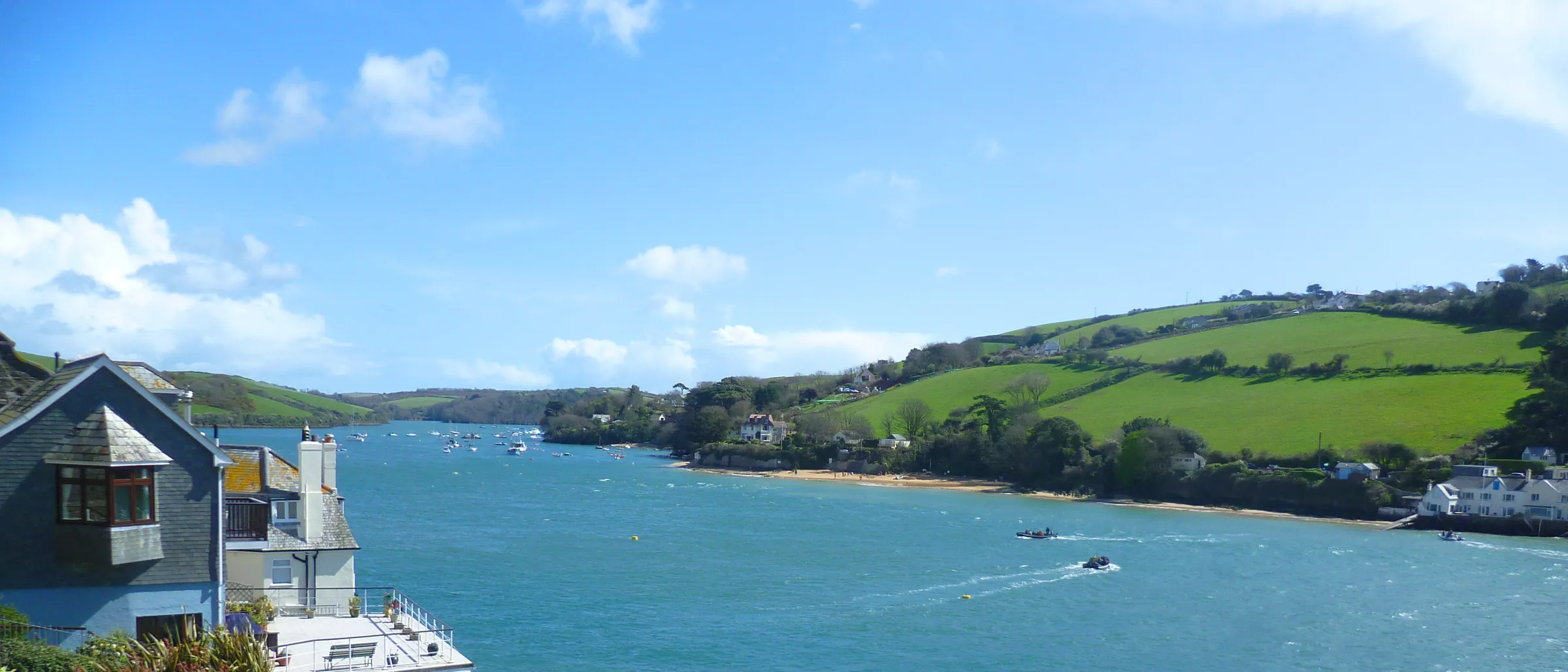
The Salcombe estuary looking seaward, with Mill Bay on the far shore
Photo by Anthony Parkes, licensed under CC BY-SA 2.0.
Source: Geograph Britain and Ireland·Homepage hero and About page hero
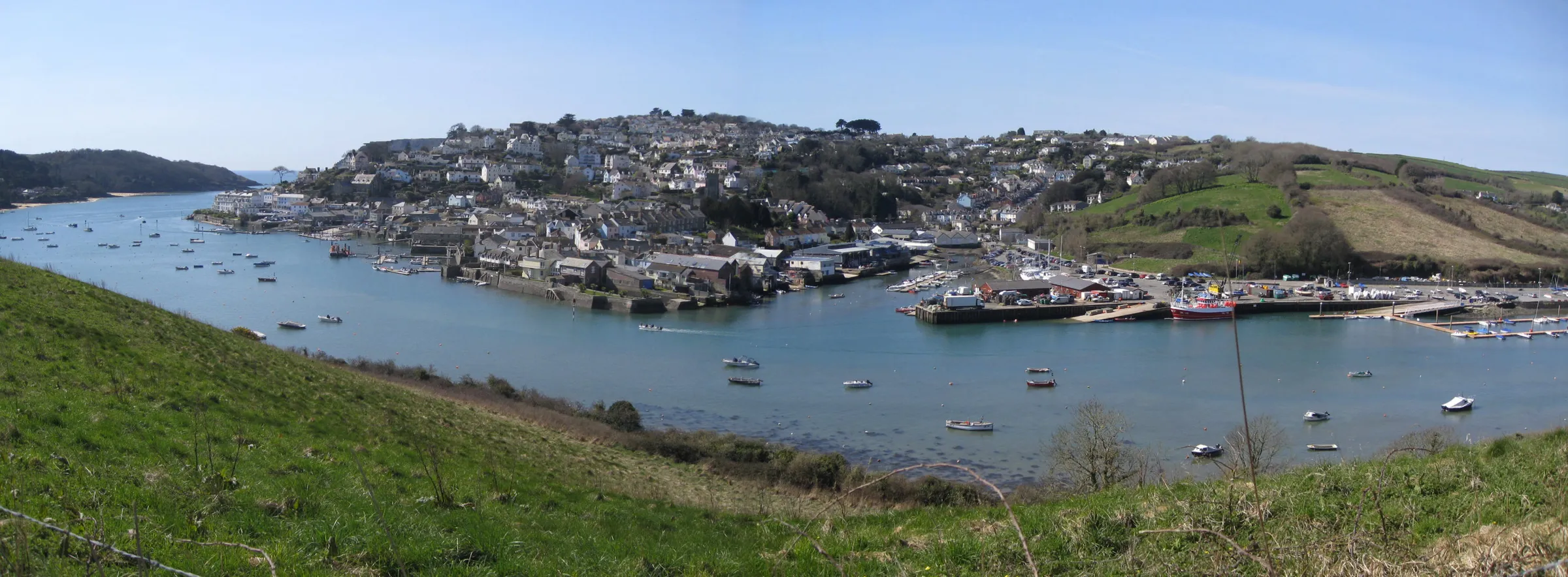
Salcombe town and harbour from Snapes Point
Photo by Colin Vosper, licensed under CC BY-SA 2.0.
Source: Geograph Britain and Ireland·Homepage FAQ backdrop
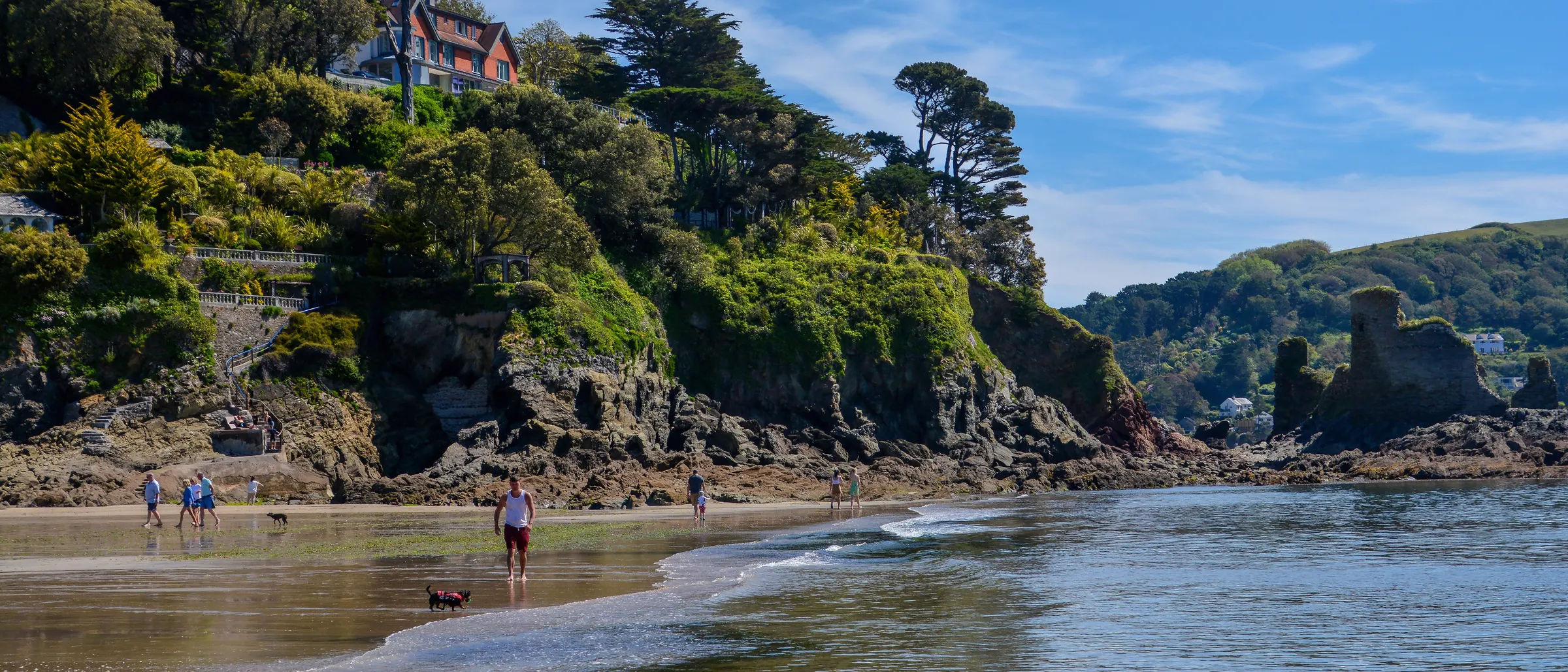
North Sands, Salcombe, with the ruins of Fort Charles on the rocks beyond
Photo by Lewis Clarke, licensed under CC BY-SA 2.0.
Source: Geograph Britain and Ireland·Hero alternative (not currently placed)
Salcombe and the South Hams
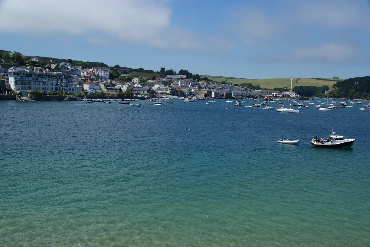
Salcombe seen across the estuary from East Portlemouth
Photo by Bill Boaden, licensed under CC BY-SA 2.0.
Source: Geograph Britain and Ireland·Salcombe town card and About page
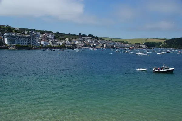
Salcombe across the estuary
Photo by Bill Boaden, licensed under CC BY-SA 2.0.
Source: Geograph Britain and Ireland·Small crop held as a nav-card placeholder — not currently in use
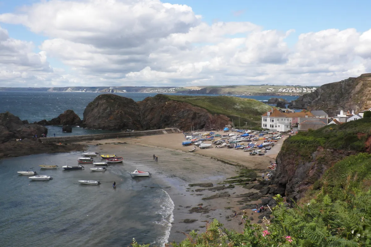
The harbour wall and beach at Inner Hope, Hope Cove
Photo by Roger Cornfoot, licensed under CC BY-SA 2.0.
Source: Geograph Britain and Ireland·Hope Cove town card and About page
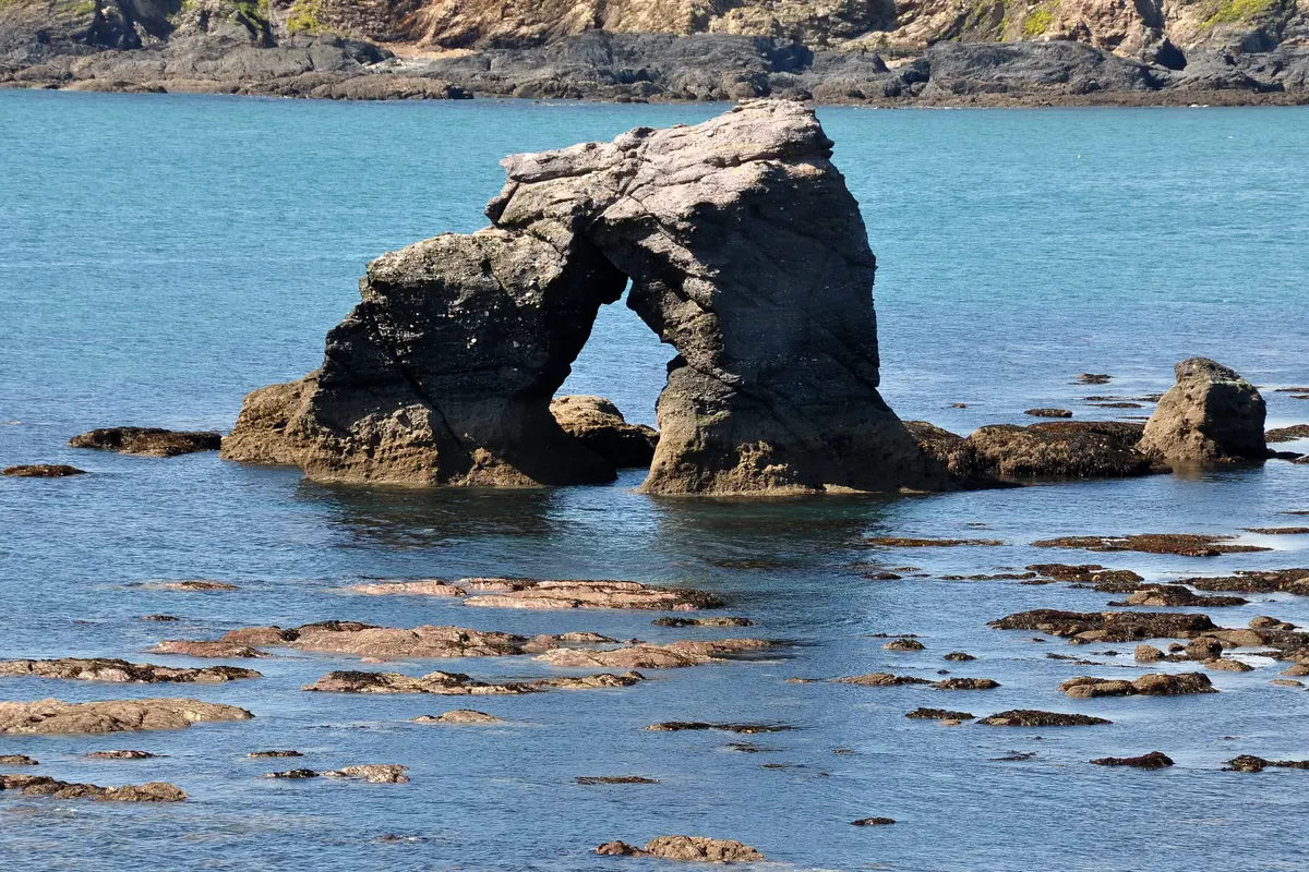
Thurlestone Rock, the arched stone standing offshore in Thurlestone Bay
Photo by Nilfanion, licensed under CC BY-SA 4.0.
Source: Wikimedia Commons·Thurlestone town card
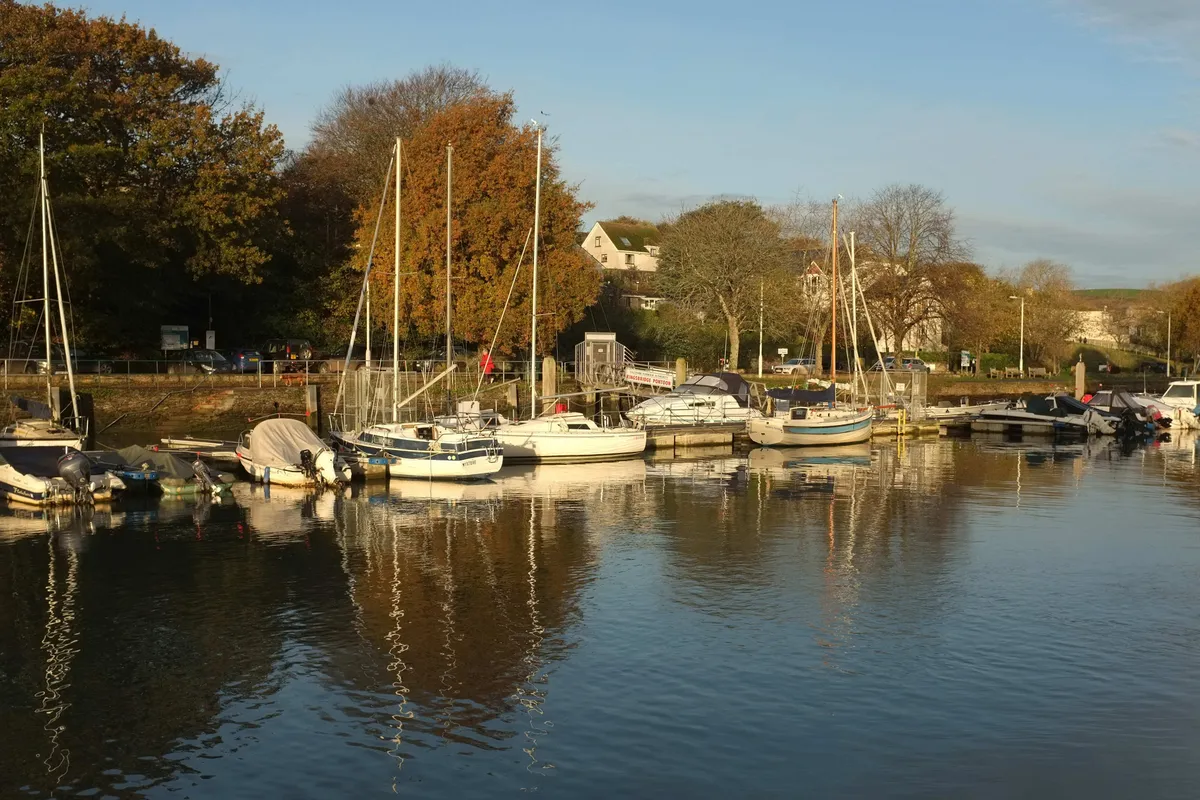
The pontoon and quay at Kingsbridge, at the head of the estuary
Photo by Derek Harper, licensed under CC BY-SA 2.0.
Source: Geograph Britain and Ireland·Kingsbridge town card
Blog and guide photography
These also carry their photographer, licence and a link to the licence in the caption beneath the photograph in the article itself. They are listed again here so this page is a complete index.
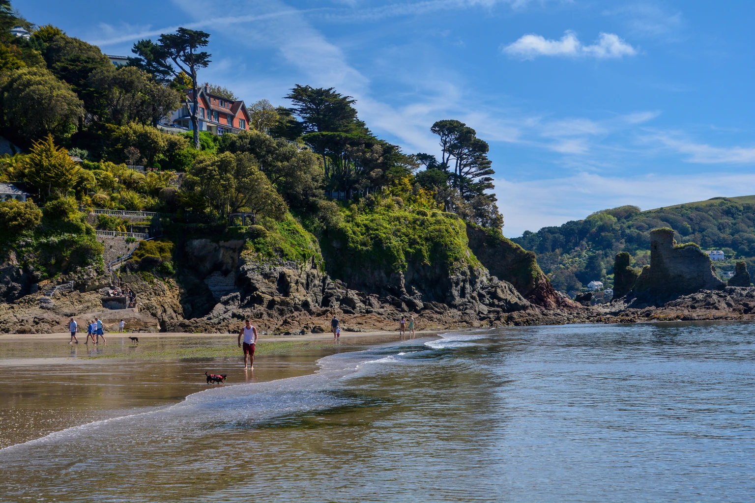
North Sands, Salcombe, looking towards the ruins of Fort Charles
Photo by Lewis Clarke, licensed under CC BY-SA 2.0.
Source: Geograph Britain and Ireland·Blog: dog-friendly beaches guide
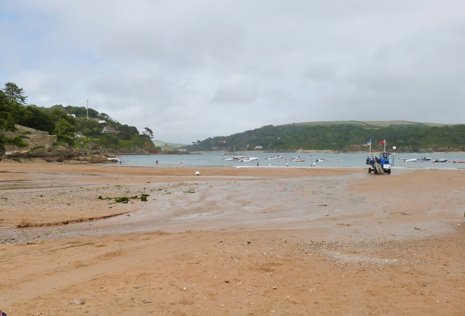
South Sands, Salcombe, with the sea tractor at the water's edge
Photo by Derek Voller, licensed under CC BY-SA 2.0.
Source: Geograph Britain and Ireland·Blog: dog-friendly beaches guide
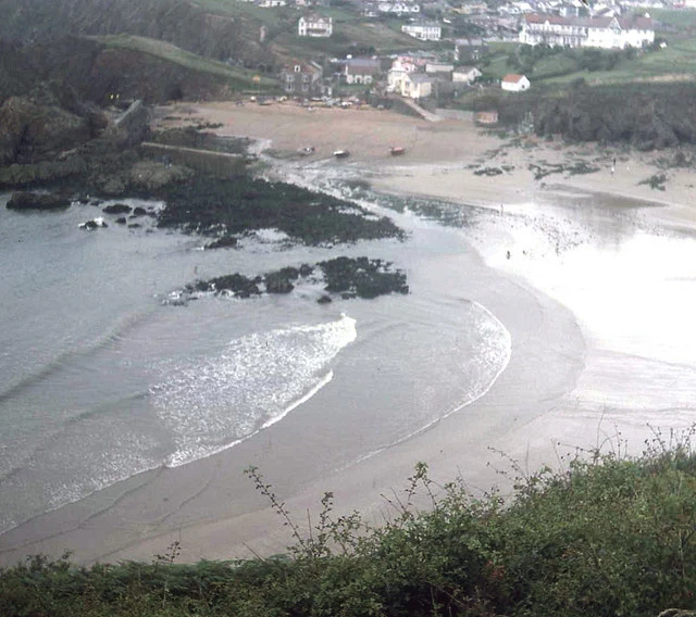
Hope Cove from the coast path, with Inner Hope in the foreground
Photo by Trevor Rickard, licensed under CC BY-SA 2.0.
Source: Geograph Britain and Ireland·Blog: dog-friendly beaches guide
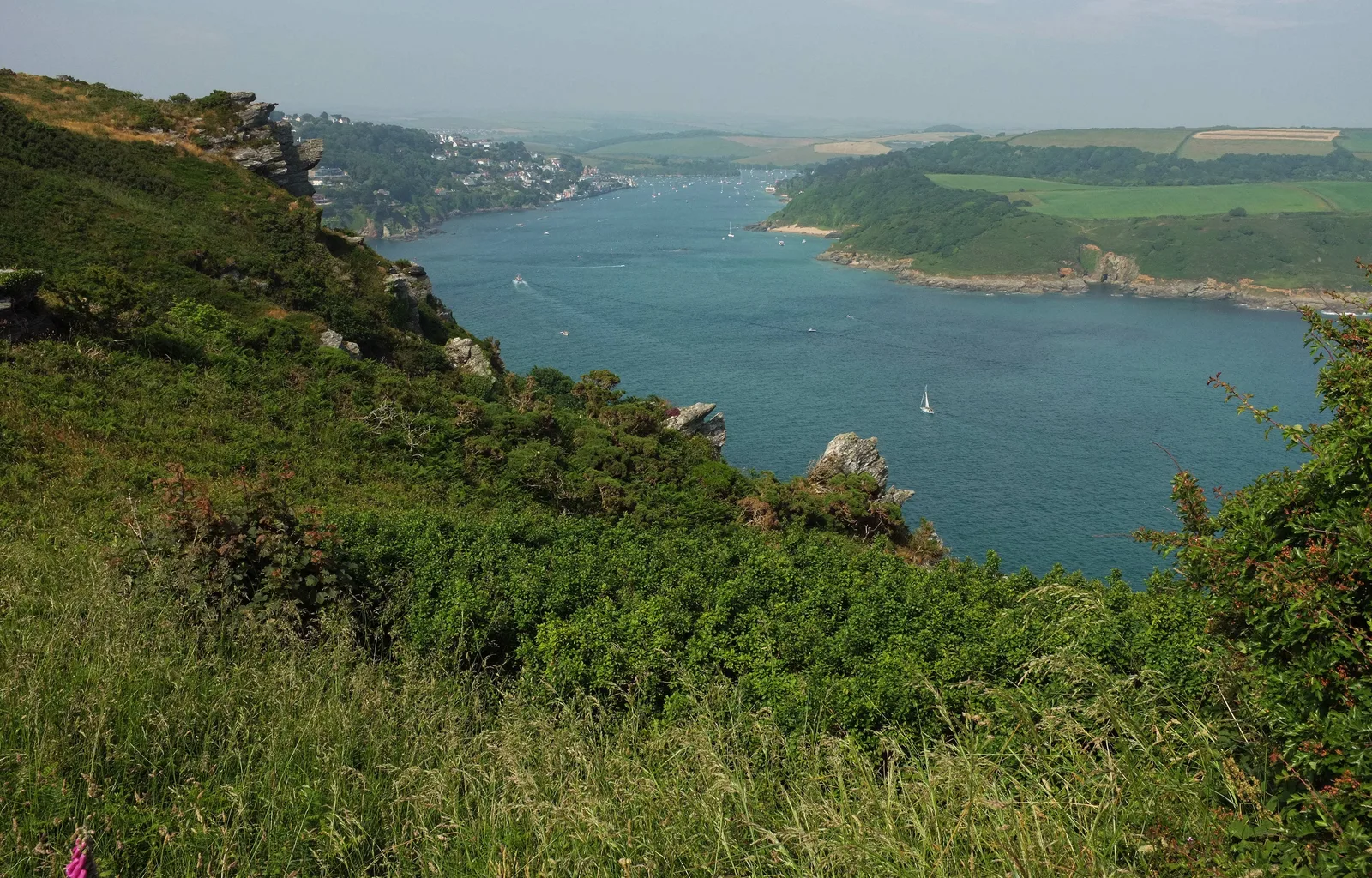
Salcombe and the mouth of the Kingsbridge Estuary, from the cliffs south of South Sands
Photo by Derek Harper, licensed under CC BY-SA 2.0.
Source: Geograph Britain and Ireland·Blog: Salcombe hotels with a pool
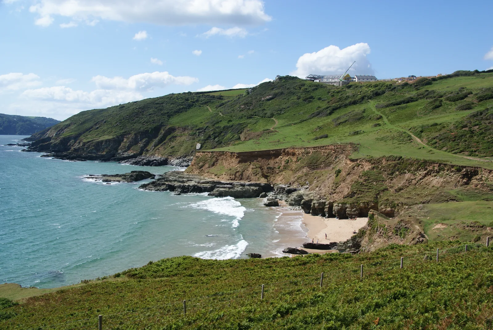
Gara Rock and the beach below it, on the East Portlemouth shore
Photo by Bill Boaden, licensed under CC BY-SA 2.0.
Source: Geograph Britain and Ireland·Blog: Salcombe hotels with a pool
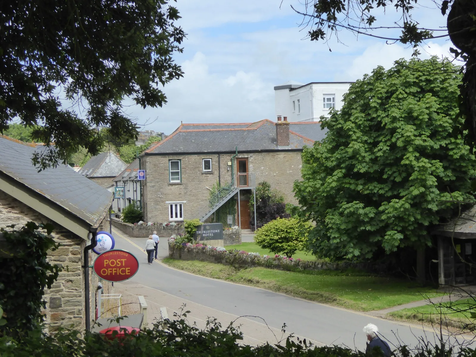
Thurlestone Hotel, in the middle of Thurlestone village
Photo by David Smith, licensed under CC BY-SA 2.0.
Source: Geograph Britain and Ireland·Blog: Salcombe hotels with a pool
If you are one of the photographers here and would like your credit worded differently, or would rather we stopped using an image, email hello@salcombeholidayaccommodation.com and we will put it right.