Quick Navigation
- So How Do You Get to Salcombe?
- Why There Is No Station in Salcombe
- By Train and Bus: Totnes, Then the 164
- Driving In: The Route That Actually Works
- The Coastal Back Road, and Why Sat-Navs Love It
- By Air: Exeter, Not Plymouth
- Once You're Here, the Car Can Mostly Rest
- Where to Base Yourself
- Common Questions
- Does Salcombe have a train station?
- What is the nearest railway station to Salcombe?
- How do I get from Totnes to Salcombe without a car?
- What is the best driving route to Salcombe?
- Can I drive to Salcombe via Dartmouth?
- What is the nearest airport to Salcombe?
- Do I need a car once I'm in Salcombe?
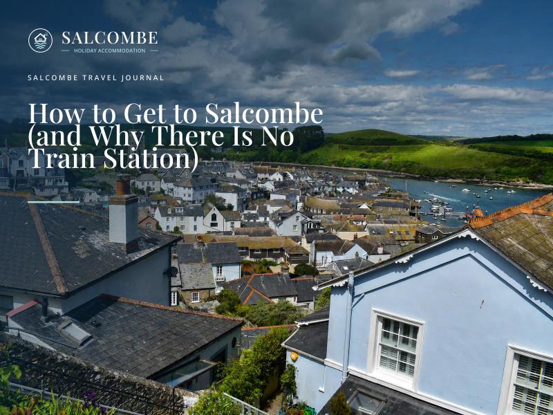
Salcombe does not have a railway station. It never has. That single fact trips up more trip planning than anything else about getting here, because the obvious search — "Salcombe station" — leads nowhere useful. Here is the route that actually works, for people arriving in Salcombe by train and bus, by car, or flying in, plus the one piece of local knowledge that saves a wasted afternoon.
So How Do You Get to Salcombe?
Three practical ways, and which one suits you depends mostly on whether you are bringing a car. Without one, the move is a train to Totnes and a connecting bus the rest of the way. Driving, the reliable route also runs via Totnes, on the A381.
And if a map app offers you a shorter-looking road along the coast through Dartmouth, read the next few sections before you take it — it involves a boat.
- Train + bus — GWR to Totnes (or Plymouth), then a connecting local bus.
- Car via Totnes — M5, A38, A384 to Totnes, then the A381 to Kingsbridge and Salcombe.
- Car via the coast — the A379 through Dartmouth, which means two vehicle ferry crossings. Scenic, slower, and not what your sat-nav will always tell you about in advance.
Why There Is No Station in Salcombe
The railway never reached the town at all. The closest it got was Kingsbridge, six miles up the estuary, on a Great Western branch that opened in 1893 and became known locally as the Primrose Line. It ran for seventy years, carrying goods, commuters and summer tourists, before closing on 16 September 1963, one of the thousands of branch lines cut in the Beeching era.
Salcombe itself was always going to be the end of a road trip, never a train one.
That history still shapes how the town is reached today. The old terminus site in Kingsbridge is now an industrial estate, but the connecting bus service that effectively replaced the trains is named for the line it followed.
By Train and Bus: Totnes, Then the 164
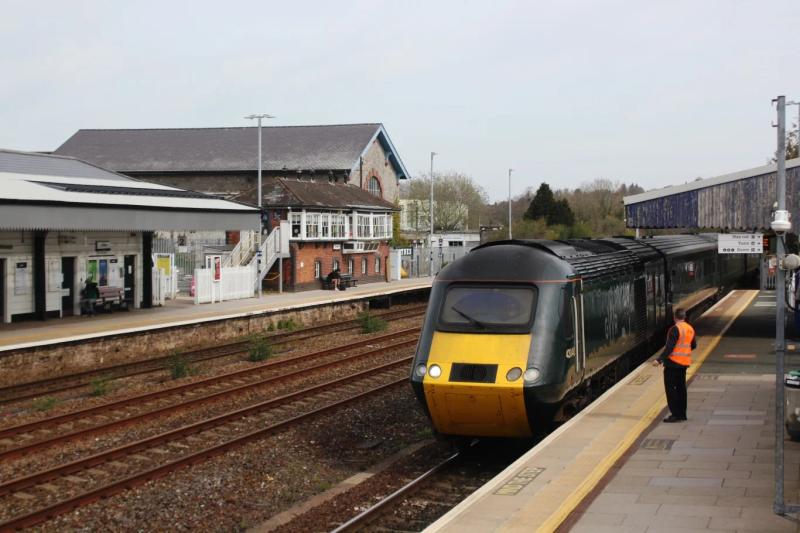
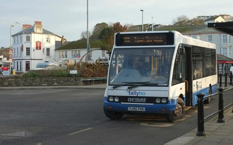
Totnes sits on the Great Western main line between Exeter and Plymouth, with direct GWR services from London Paddington and connections off most long-distance West Country trains. From the station forecourt, a local bus — service 164, run by Tally Ho! and known as the Primrose Link — continues to Kingsbridge and on to Salcombe, timed to meet GWR trains and some CrossCountry services.
It runs roughly hourly, seven days a week, a partnership set up between Tally Ho!, Great Western Railway and Devon County Council specifically to keep this last leg practical without a car.
Plymouth is the other mainline option, with a wider range of long-distance services. From there, a local bus (route 3) runs to Kingsbridge, where you pick up the same 164 for the final stretch into Salcombe — a longer journey overall than going via Totnes, but useful if your train only stops at Plymouth.
| Mainline station | Connecting bus | Roughly how long |
|---|---|---|
| Totnes | 164 Primrose Link (Tally Ho!), direct to Salcombe | About 1 hour 10 from the station forecourt |
| Plymouth | Route 3 to Kingsbridge, then the 164 onward | Noticeably longer than via Totnes, with a change at Kingsbridge |
The 164 is not a tourist shuttle laid on for visitors — it is the working replacement for a railway that closed sixty years ago, and it is built to meet the trains.
Driving In: The Route That Actually Works
From the M5, the standard approach is the A38 towards Plymouth, leaving it after around ten miles for the A384 to Totnes, then picking up the A381 signposted to Kingsbridge and Salcombe. It is the route local accommodation's own directions pages describe, because it is simply the one that works.
Allow a good stretch of a morning or afternoon from further up the M5, and roughly 40 minutes from Totnes itself once you are on the A381.
The A381 itself is part of the experience: hilly and twisting with genuine Devon-lane stretches, dropping to the River Dart at Totnes before running the final miles around the edge of the Kingsbridge Estuary into town. Drivers coming from Plymouth generally join the same signed route via the A38 and A384 rather than attempting the coastal back road. That brings us to the next section.
The Coastal Back Road, and Why Sat-Navs Love It
There is a second way in: the A379 east along the coast, through Dartmouth. It looks direct on a map, and some navigation apps will offer it as the shortest route. What the distance figure does not make obvious is that it crosses the River Dart twice on vehicle ferries — the Higher Ferry and the Lower Ferry at Dartmouth — queuing included.
It is a genuinely pretty drive if that is what you want from the day, but it is not the dependable way to make a booked check-in time, and it is not a route to take in anything large without checking vehicle restrictions first.
Large vehicles following a sat-nav blindly into the South Hams is not a hypothetical. In 2017, an articulated lorry ended up stuck on Salcombe's own Bennett Road after its satnav routed it into the town centre; three members of Salcombe Town Council, including the then Town Mayor, had to stop traffic and talk the driver back up the hill to turn around.
The council's own comment at the time was blunt: a sat-nav had "been followed blindly, leading to chaos." The lesson travels beyond lorries — if a route looks oddly direct for this part of Devon, it is worth a second look before committing to it.
A sat-nav does not know there is a boat in the way. Both the Dartmouth ferries and Salcombe's own narrow lanes have caught out drivers who trusted the shortest-looking line on a map without reading what it actually crosses. If a route into the South Hams looks unusually quick, open the map and check what road it is actually sending you down before you commit to it.
By Air: Exeter, Not Plymouth
Exeter Airport is the nearest airport with scheduled flights, around an hour and a half's drive via the route above. Plymouth City Airport is closer on a map, but it has not operated commercial passenger flights since it closed to scheduled services at the end of 2011.
Older guides sometimes still list Plymouth as an option. Worth knowing before you plan around it.
Once You're Here, the Car Can Mostly Rest
Salcombe's centre is compact and built on hills meant for walking, not for circling in a car looking for a space. A seasonal Park & Ride operates on the edge of town in the busier months, with a short bus link down to the centre — worth using rather than hunting for street parking on your first afternoon.
Within the town, the passenger ferries across to East Portlemouth and down to South Sands do a lot of the local legwork that a car otherwise would.
None of that is a reason to leave the car at home entirely, since most of the coast and villages around the estuary are easiest reached by road. It does mean the drive in is the hard part, though, not getting around once you are here.
Where to Base Yourself
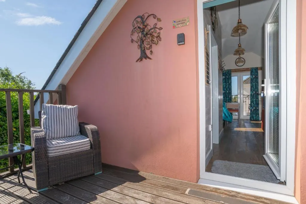
Where you choose to stay changes how much this all matters. A base in the town itself, within walking distance of the harbour, makes the drive in a one-off rather than something you repeat daily. Out at cottages and houses around Hope Cove or stays near Thurlestone's beach, you will use the car more for day-to-day trips, in exchange for quieter beaches on the doorstep.
A night at the head of the estuary in Kingsbridge sits directly on the route everyone arrives by, which suits a first or last stop of a longer Devon trip. Have a look at everywhere we list across the area and weigh it against how often you actually plan to get back in the car.
If you are still deciding whether the place itself is worth the journey, we have covered that question directly in Is Salcombe Worth Visiting? — and once you are here, what fills the days and which beaches to head for first are the natural next reads.
Common Questions
Does Salcombe have a train station?
No, and it never has. The railway's closest approach was Kingsbridge, six miles up the estuary, on a branch line that closed in 1963. The nearest working station today is Totnes, on the Great Western main line.
What is the nearest railway station to Salcombe?
Totnes, with a connecting bus (the 164, roughly hourly) covering the rest of the journey in about an hour and ten minutes. Plymouth is an alternative mainline station with more long-distance services, reached from Salcombe via a bus change at Kingsbridge.
How do I get from Totnes to Salcombe without a car?
The 164 Primrose Link bus, run by Tally Ho!, leaves roughly every hour from the Totnes station forecourt and is timed to meet GWR trains and some CrossCountry services. It runs seven days a week.
What is the best driving route to Salcombe?
From the M5, take the A38 towards Plymouth, then the A384 to Totnes, then the A381 signposted to Kingsbridge and Salcombe. It is slower in mileage terms than the coastal A379 through Dartmouth, but it does not involve a ferry crossing, which makes it the more dependable choice for a fixed arrival time.
Can I drive to Salcombe via Dartmouth?
Yes, on the A379, but it crosses the River Dart twice on vehicle ferries — the Higher Ferry and the Lower Ferry — so build in queuing time and check size restrictions if you are towing or driving anything large. It is a genuinely scenic route if that is the point of your day, just not the most reliable one for a booked check-in.
What is the nearest airport to Salcombe?
Exeter Airport, around an hour and a half's drive. Plymouth City Airport is nearer on a map but has had no scheduled commercial flights since it closed at the end of 2011.
Do I need a car once I'm in Salcombe?
Not for the town itself — it is compact, hilly and walkable, with passenger ferries to East Portlemouth and South Sands covering some local journeys, plus a seasonal Park & Ride on the edge of town. A car is more useful for reaching the wider coast and villages around the estuary.